Integrated Space-Terrestrial-Subsea Connectivity for the Digital Future
Delivering integrated industry solutions across ASEAN and the Pacific region.
Satellite Constellations
High-precision navigation, narrowband communications, telemetry and Earth observation solutions for critical industries.
Co-owner of SEA-H2X sub-sea cable systems offering ultra-high-speed, low-latency regional data connectivity from ASEAN to Hong Kong and Hainan.
Space-teresterial-subsea integrated communication platforms supporting digital economy applications.
Submarine Cable Infrastructure
Integrated Network Ecosystem
Enabling Asia-Pacific’s Next-Gen Connectivity
Sonia Satellite Services Sdn. Bhd. delivers high-speed, secure connectivity through satellite systems, remote sensing and the SEA-H2X submarine cable. Our mission: to bridge air, space, land and sea networks for governments, telcos and enterprise customers.
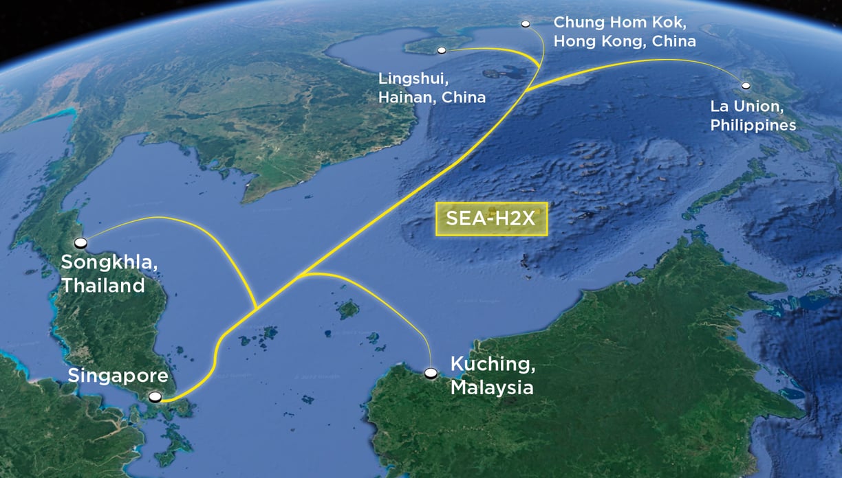

Integrated Satellite & Subsea Infrastructure
Authorised Technology Partner
As the Malaysian representative of ZhongKang BeiDou and partner to NORINCO Group, we bring Chinese state-backed satellite innovation to the region, enabling aerospace digital parks, advanced telecom platforms and defence-grade navigation solutions.
Satellite Constellations Powering Our Services
Leveraging advanced satellite technologies for navigation, communication and earth observation across the ASEAN and the Pacific region.
BeiDou Navigation Constellation
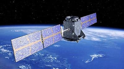

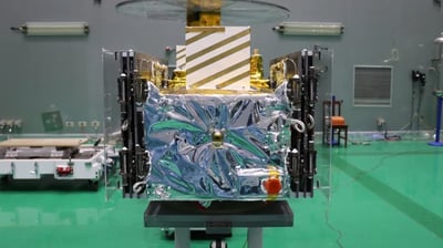

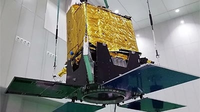

Delivers secure, real-time global positioning and navigation services for land, sea and air applications.
Tianqi IoT Communication Constellation
Jilin-1 Remote Sensing Constellation
Enables low-power, wide-area connectivity for industrial IoT, smart agriculture, asset tracking and infrastructure monitoring.
Provides high-resolution, multi-spectral Earth observation for disaster response, urban development and environmental monitoring.
Integrated Satellite & Infrastructure Solutions
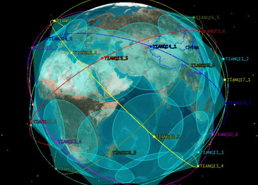

Satellite Navigation & IoT Communications
Integrated BeiDou GNSS and TIANQI LEO systems for precision navigation and narrowband IoT connectivity.
Use cases: smart transport, logistics, maritime, remote asset tracking, agriculture.
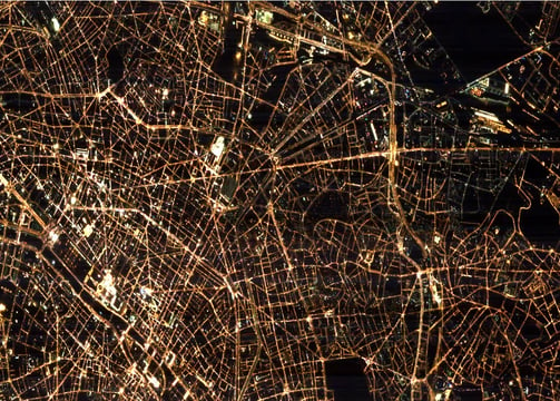

Earth Observation & Remote Sensing
High-resolution imagery and environmental data from JILIN-1 and other constellations.
Use cases: urban planning, oil & gas, forestry, disaster response, climate monitoring.
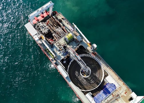

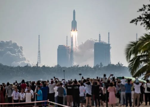

Subsea & Space-Based Infrastructure
Operator of SEA-H2X submarine cable and integrator of satellite-ground systems.
Use cases: regional internet backbone, enterprise data transit, telco and ISP enablement.
Aerospace Parks & Digital Ecosystems
Development of aerospace digital parks in partnership with NORINCO and ZhongKang BeiDou.
Use cases: R&D facilities, digital industry hubs, smart city and defence innovation zones.
Behind the Mission
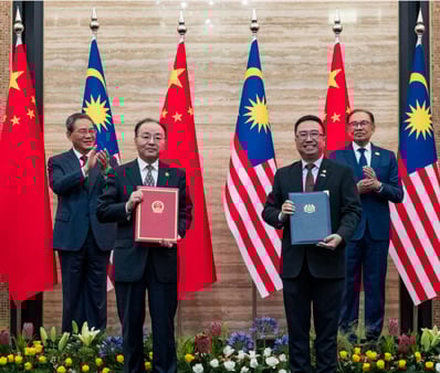
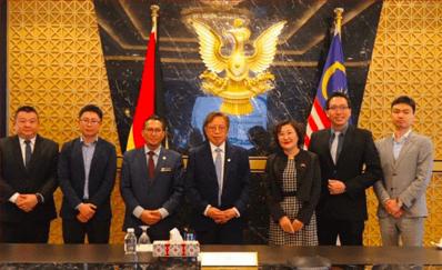
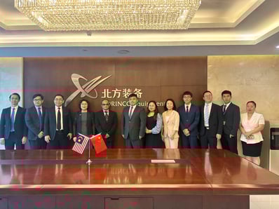
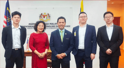
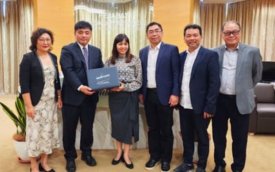
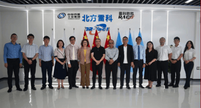
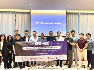
A glimpse into the people, culture and moments shaping our journey in satellite innovation and regional connectivity.


Let’s Connect
Have a project in mind or need more information about our satellite and digital infrastructure solutions? We’d love to hear from you.
