Sonia Satellite Services · Tun Razak Exchange, Kuala Lumpur

Integrated space, terrestrial and subsea connectivity for the digital future.

High-speed satellite data, submarine cable capacity and integrated networks, engineered for governments, telcos and enterprise across ASEAN and the Pacific.

LIVE WIRE

ALL NEWS →

Positioning

Enabling Asia-Pacific's next-generation connectivity

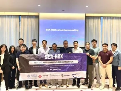
Sonia Satellite Services Sdn. Bhd. delivers high-speed, secure connectivity through satellite systems, remote sensing and regional capacity leveraging the SEA-H2X submarine cable system. Our mission: to bridge air, space, land and sea networks for governments, telcos and enterprise customers.

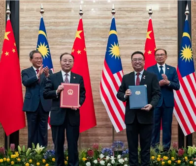
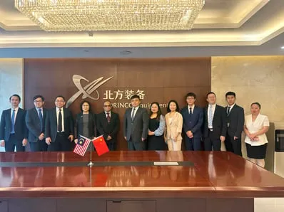
As the Malaysian representative of ZhongKang BeiDou and partner to NORINCO Group, we bring Chinese state-backed satellite innovation to the region, enabling aerospace digital parks, advanced telecom platforms and defence-grade navigation solutions.

Live picture

Space, sea and ground on a single sphere

Orbital shells overhead, the SEA-H2X system beneath the sea and the ground networks between them. Drag to rotate; hover a route or landing point for telemetry.

Telemetry

LIVE · --:--:-- UTC

BDS-3 · 30-SAT NOMINAL DESIGN · 3 GEO + 3 IGSO + 24 MEO

Orbital shells are stylised and not to scale. SEA-H2X system route and landing points per TeleGeography, shown as industry context.

Layer 01 · Space

Constellations overhead

Navigation, narrowband IoT and Earth-observation services drawn from BeiDou and partner constellations, with coverage engineered for ASEAN and the Pacific.

BDS-3 NOMINAL DESIGN · 3 GEO + 3 IGSO + 24 MEO

ACQUIRING…
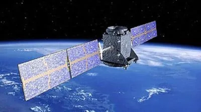
Navigation satellite with solar panels deployed in orbit above Earth
NAVIGATION SATELLITE · BDS-3 CONSTELLATION

Layer 02 · Terrestrial

Ground segments and integrated networks

Ground stations, aerospace digital parks and telecom platforms that fuse satellite capacity with terrestrial networks for governments and enterprise.

HQ · TUN RAZAK EXCHANGE · KUALA LUMPUR

ACQUIRING…
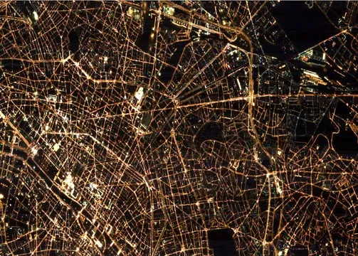
City street grid glowing at night, photographed from orbit
GROUND NETWORKS AT NIGHT · SEEN FROM ORBIT

Layer 03 · Subsea

Capacity beneath the sea

Regional data connectivity leveraging the SEA-H2X submarine cable system, engineered by HMN Tech with a design capacity above 200 Tbps.

SEA-H2X · ~6,000 KM · 8 FIBRE PAIRS · RFS 2026

ACQUIRING…
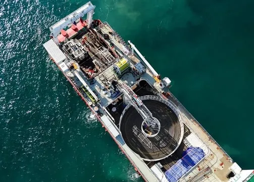
Aerial view of a cable-laying ship at sea with its cable carousel on deck
CABLE SHIP · SUBSEA FIBRE DEPLOYMENT

Constellations

Constellations powering the services

Leveraging advanced satellite technologies for navigation, communication and Earth observation across ASEAN and the Pacific.

BeiDou navigation satellite in orbit above Earth

BeiDou navigation constellation

Secure, real-time positioning and navigation services for land, sea and air applications, with regional high-precision augmentation.

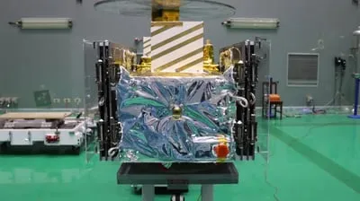
Satellite wrapped in thermal insulation during cleanroom integration

Tianqi IoT communication constellation

Low-power, wide-area connectivity for industrial IoT, smart agriculture, asset tracking and infrastructure monitoring.

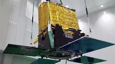
Jilin-1 Earth observation satellite during integration

Jilin-1 remote sensing constellation

Multi-spectral Earth observation supporting disaster response, urban development and environmental monitoring.

Ecosystem

An authorised regional partner

Working relationships with ZhongKang BeiDou and NORINCO Group connect Malaysian delivery to established satellite and infrastructure programmes, disclosed plainly and in full.

Behind the mission

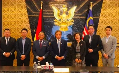
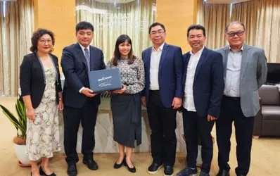
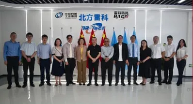
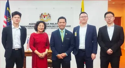
The people shaping the journey

A glimpse into the people, culture and moments shaping the journey in satellite innovation and regional connectivity.

Let's connect

Have a project in mind?

Need more information about our satellite and digital-infrastructure solutions? We would love to hear from you.

Start a conversation