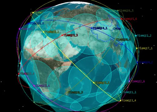
Precision navigation and IoT
Integrated BeiDou GNSS and Tianqi LEO systems for precision navigation and narrowband IoT connectivity.
SMART TRANSPORT · LOGISTICS · MARITIME · REMOTE ASSET TRACKING · AGRICULTURE

Solutions
Three service lines, engineered to compound: constellations overhead, cable capacity beneath the sea and the integrated networks that bind them.
01
High-precision navigation, narrowband communications, telemetry and Earth-observation solutions for critical industries.
02
Ultra-high-speed, low-latency regional data connectivity leveraging the SEA-H2X submarine cable system.
03
Space, terrestrial and subsea integrated communication platforms supporting digital-economy applications.
04
Low-power, wide-area IoT connectivity over LEO constellations and BeiDou two-way messaging, for assets far beyond cellular coverage.
Applications
Concrete applications drawn from the industries we serve today.
Integrated BeiDou GNSS and Tianqi LEO systems for precision navigation and narrowband IoT connectivity.
SMART TRANSPORT · LOGISTICS · MARITIME · REMOTE ASSET TRACKING · AGRICULTURE

High-resolution imagery and environmental data from Jilin-1 and other constellations.
URBAN PLANNING · OIL AND GAS · FORESTRY · DISASTER RESPONSE · CLIMATE MONITORING
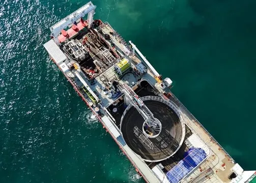
Integrator of satellite-to-ground systems delivering regional backbone capacity leveraging the SEA-H2X submarine cable system.
REGIONAL INTERNET BACKBONE · ENTERPRISE DATA TRANSIT · TELCO AND ISP ENABLEMENT
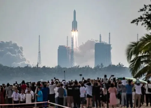
Development of aerospace digital parks in partnership with NORINCO and ZhongKang BeiDou.
R&D FACILITIES · DIGITAL INDUSTRY HUBS · SMART-CITY AND DEFENCE INNOVATION ZONES
Sonia assist
CHANNEL OPEN · ASK US ANYTHING
Hello. I am the Sonia Satellite assistant. Ask me about our services, BeiDou and GNSS, the SEA-H2X system, IoT constellations, Earth observation or Malaysia's space sector.